Spacetime
Nature doesn’t stand still. Spacetime is Lemu’s nature data protocol that organises environmental observations, models, and indicators so they stay consistent, comparable, and decision-ready—no matter the source or scale.
Spacetime defines how complex, linked, interdependent nature data is represented, related, and versioned over space and time. It lets organisations combine field data, remote sensing, models, and records into one coherent fabric—ready for analysis, governance, and sharing.
A data protocol for ecological intelligence
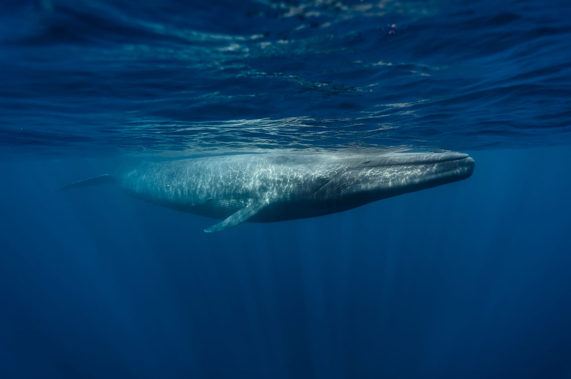
There is a place in southern Chile where the arrayán trees grow so close to the river that their roots drink from two worlds at once — the soil and the current. The Mapuche call the arrayán quetri and consider it a guardian. A botanist calls it Luma apiculata and measures its leaf area index. A satellite 500 kilometers above sees neither the name nor the sacredness — it sees a reflectance signature at 842 nanometers that says: something is alive here, and it is changing.
Three ways of knowing the same tree. Three systems of notation. Three levels of trust. And until now, no common language to hold all three in the same sentence without losing any of them.
Spacetime is that language.
It is a protocol for recording what happens on Earth — where, when, and how certain we are. A single bee counted on a Tuesday morning and a continent's carbon flux measured across a decade are both valid Spacetime records. They share the same grammar. They differ in scale, in confidence, in what they claim to know — and that difference is explicit, not hidden.
The architecture is simple enough to state in one breath: every observation carries a space (where, at what resolution, how precisely), a time (when, how precisely), a payload (what was observed, in what units, by what method), and a provenance (how it was produced, from what sources, through what process). Raw field data, derived indicators, and institutional claims all use the same envelope — but they declare their epistemic level honestly. A camera trap photograph and a TNFD disclosure metric are never confused, because they never pretend to be the same kind of knowledge.
This matters because the planet's next decade will be shaped by decisions that depend on ecological data — and most of that data does not yet exist in a form that machines can reason about, that regulators can audit, or that indigenous communities can recognize their knowledge within. SpaceTime is built so that all three can happen simultaneously, without any of them compromising the others.
The protocol is fractal: a single tree nests inside a forest stand, inside a watershed, inside an ecoregion — and the lineage is traversable all the way down. It is event-sourced: corrections are new records, not overwrites, because the history of what we thought we knew is as valuable as what we know now. It wraps Darwin Core, Humboldt Extension, CF Standard Names, and IUCN vocabularies inside a unified spatiotemporal envelope — not replacing them, but giving them a shared coordinate system.
Spacetime is how we begin to describe it.
Key Highlights
- 4D by design: every record is anchored in location (x, y, z) and timestamp/period (t).
- Typed & linked: observations, features, events, habitats, and indicators are first-class, linked objects.
- Versioned & auditable: provenance, lineage, and change history are preserved end-to-end.
- Interoperable: aligns with open geospatial and temporal data conventions for smooth exchange.

{x, y, z, t}
4D NATURE DATA PROTOCOL
Purpose
Spacetime (STP) is a data protocol for ecological intelligence. It defines how environmental observations, biodiversity records, and derived indicators are structured, stored, and connected — enabling both human analysts and AI systems to query, reason about, and generate ecological knowledge at planetary scale.
Design Principles
Recursivity. Raw observations, processed indicators, and AI inferences all share the same structure. The output of any process is a valid Spacetime record that can be input to another.
Epistemic Layering. Data flows through a clear knowledge stack — observation, interpretation, claim — with explicit transitions. A species sighting and a TNFD disclosure metric are both Spacetime records, but they live at different epistemic levels and carry different trust properties.
Fractal Composability. Every entity can nest sub-entities of the same type. A coral polyp and the Great Barrier Reef share the same structural grammar. A single tree observation can be composed into a forest stand, a watershed, an ecoregion.
Semantic Clarity. Every record carries enough context for a machine to understand what it represents, where and when it was observed, how it was produced, and from what sources — without external documentation.
Event-Sourced. Every mutation is an immutable event appended to a log. Current state is a computed view. Retroactive corrections are new events referencing previous ones. Temporal queries are first-class operations.
Cloud-Native. Spacetime is designed for columnar analytical stores with native JSON support, geospatial processing engines for raster-to-vector derivation, and JSON-LD as interchange format. GeoParquet is the standard export format.
Interoperable by Default. Spacetime does not replace existing standards. It wraps Darwin Core, Humboldt Extension, CF Standard Names, and other vocabularies within a unified spatiotemporal envelope.
FAQ
Is Spacetime a database or a file format?
Neither. It’s a protocol—a shared model for how nature data is structured. We implement it across our stack and expose it via APIs.
Can I use Spacetime without Atlas?
Yes. You can integrate through APIs to push/pull data, or connect your tooling to Spacetime-conformant exports.
How does Spacetime handle uncertainty?
Uncertainty and quality flags are first-class fields attached to each measurement and indicator, with method metadata for reproducibility.
What standards does it support?
Spacetime aligns with open geospatial and temporal conventions and interoperates with common GIS/EO tools.
How does versioning work?
Every dataset and model run carries a unique ID, timestamp, and lineage. Changes are tracked so you can compare states and roll back.
Can we publish subsets publicly?
Yes. Publish your project with Atlas to disclose selected layers/indicators while keeping sensitive data private.
Let's talk about Spacetime.
Want to learn more or connect your data to Atlas — through Spacetime? Reach out and say hello!