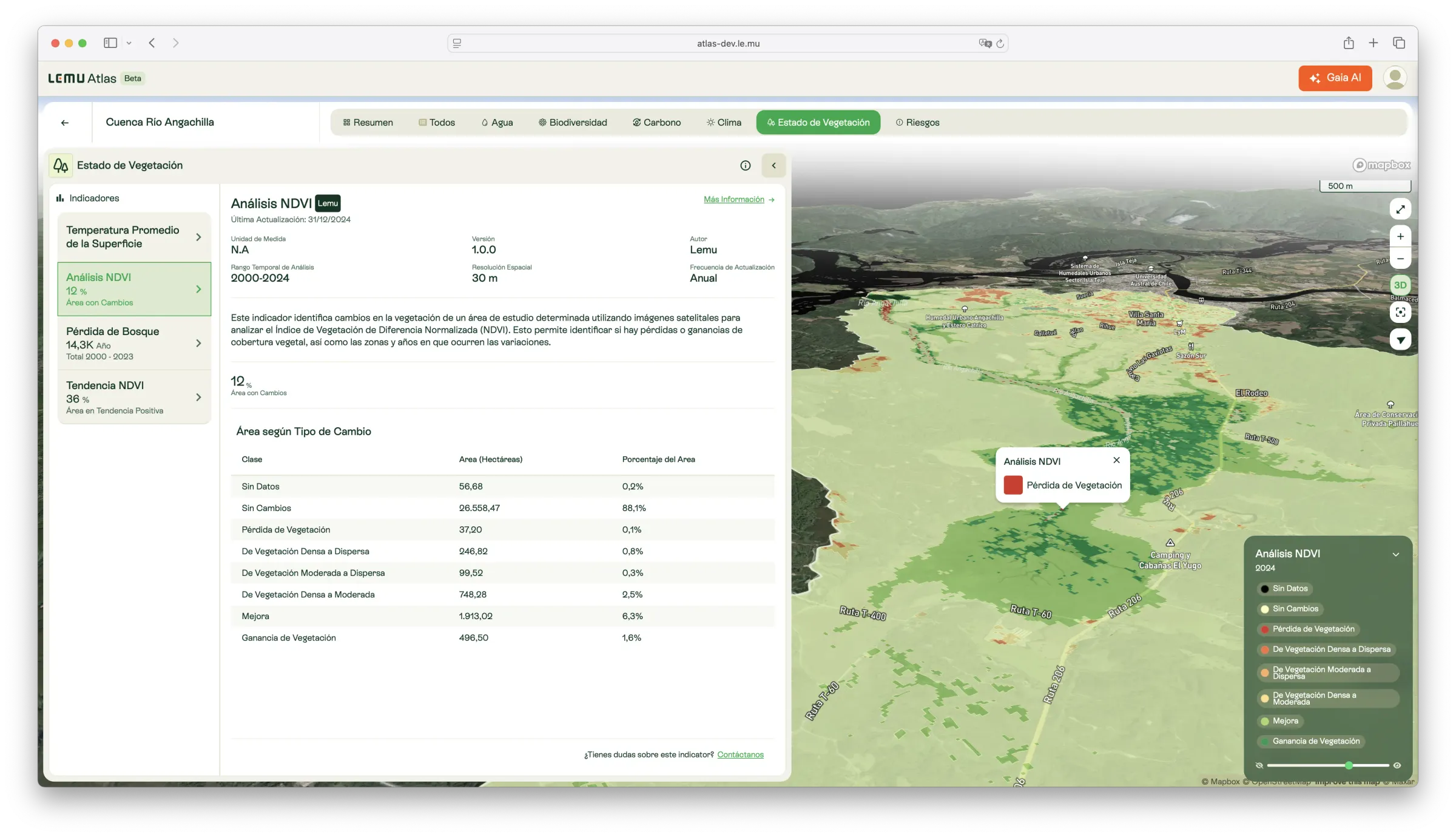
NDVI Analysis
Detection of vegetation cover changes using the Normalized Difference Vegetation Index (NDVI), identifying areas of gain, loss, or stability since 2000.

Description
This indicator analyses vegetation cover change in a given area using the Normalized Difference Vegetation Index (NDVI) derived from Landsat imagery (2000–2024). It spatially identifies zones where vegetation is lost, gained, or remains stable, and records the year in which changes occur.
NDVI values are classified as follows:
- x < 0 → Water or rock
- 0 ≤ x ≤ 0.08 → No vegetation
- 0 < x ≤ 0.3 → Sparse vegetation
- 0.3 < x ≤ 0.5 → Moderate vegetation
- 0.5 < x → Dense vegetation
Based on variation between these classes, the indicator categorises changes into:
- No data
- No change
- Vegetation loss (transition to bare soil/water)
- Decrease (dense → moderate, dense → sparse, moderate → sparse)
- Gain (sparse → moderate/dense; moderate → dense)
What it measures
- Spatial and temporal patterns of vegetation cover.
- Gains, losses, and transitions between vegetation density classes.
- Potential drivers of change when combined with Land Cover and other indicators.
How to interpret
- Vegetation loss: indicates deforestation, degradation, or disturbance.
- Vegetation gain: indicates regrowth or restoration.
- Stable classes: areas with consistent vegetation conditions.
Unit / Scale
Unitless NDVI index, classified into vegetation density categories.
Temporal coverage: 2000–2024.
Spatial resolution: 30 m.
Update frequency: Annual.
Author / Source
Lemu — based on satellite NDVI products.
Key data:
- Google Earth Engine — Landsat 7 Collection 2 Level 2.
- Google Earth Engine — Landsat 8 Collection 2 Level 2.
🔗 https://developers.google.com/earth-engine/datasets/catalog/landsat
Applications in Atlas
- Monitor vegetation condition and detect land degradation.
- Assess the effectiveness of conservation and restoration programs.
- Identify ecosystem stressors linked to climate or human activity.
- Provide vegetation change baselines for carbon and biodiversity models.