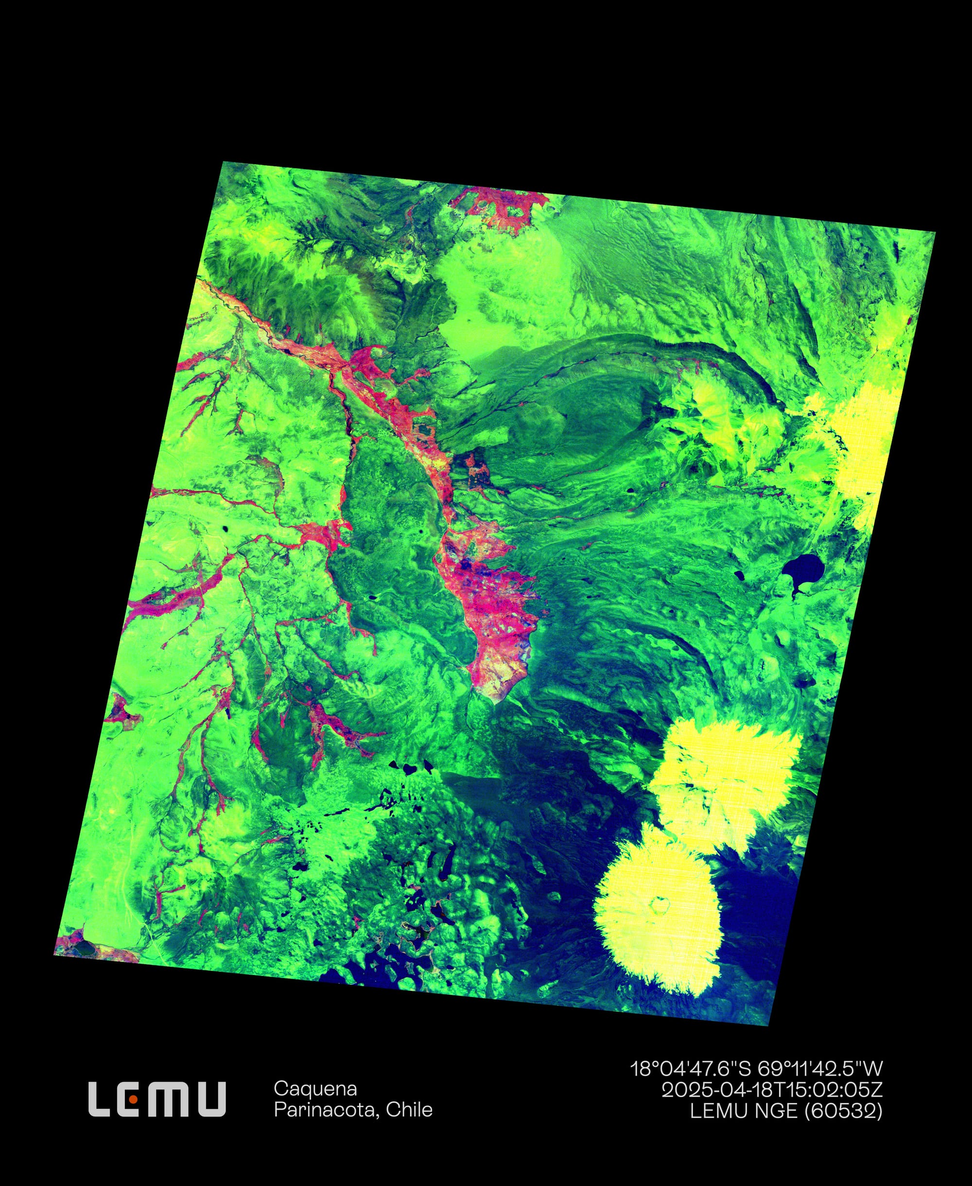
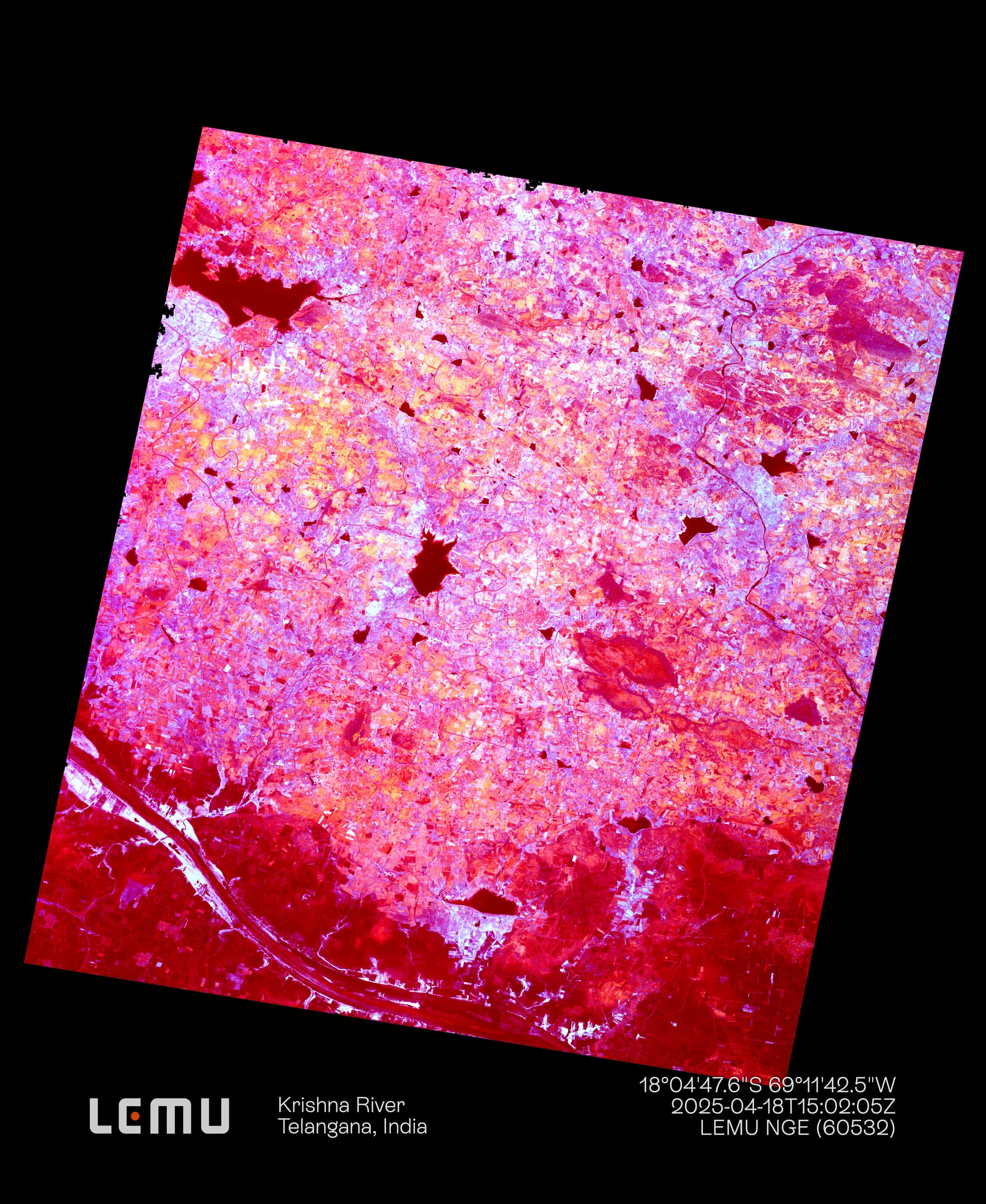
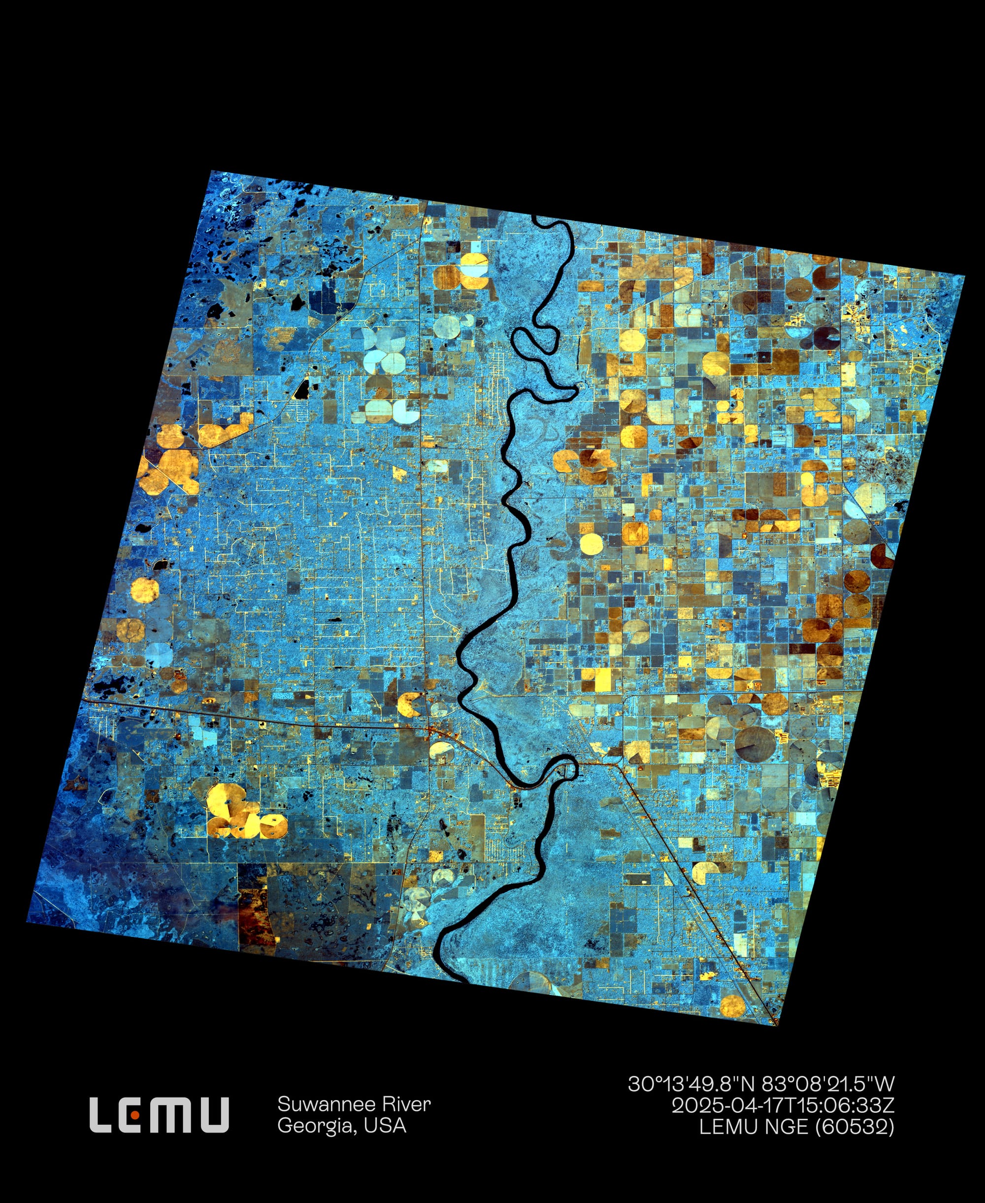
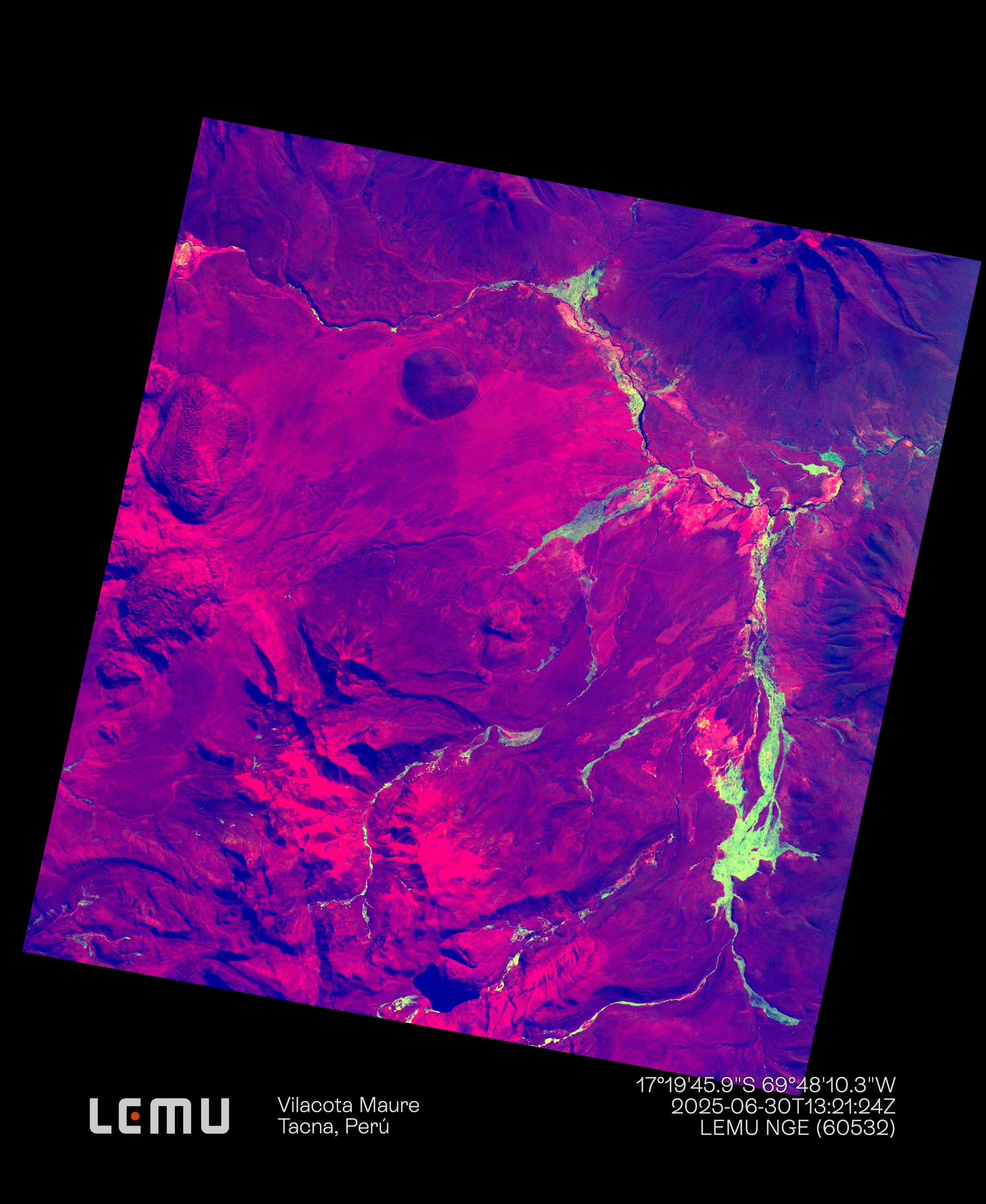
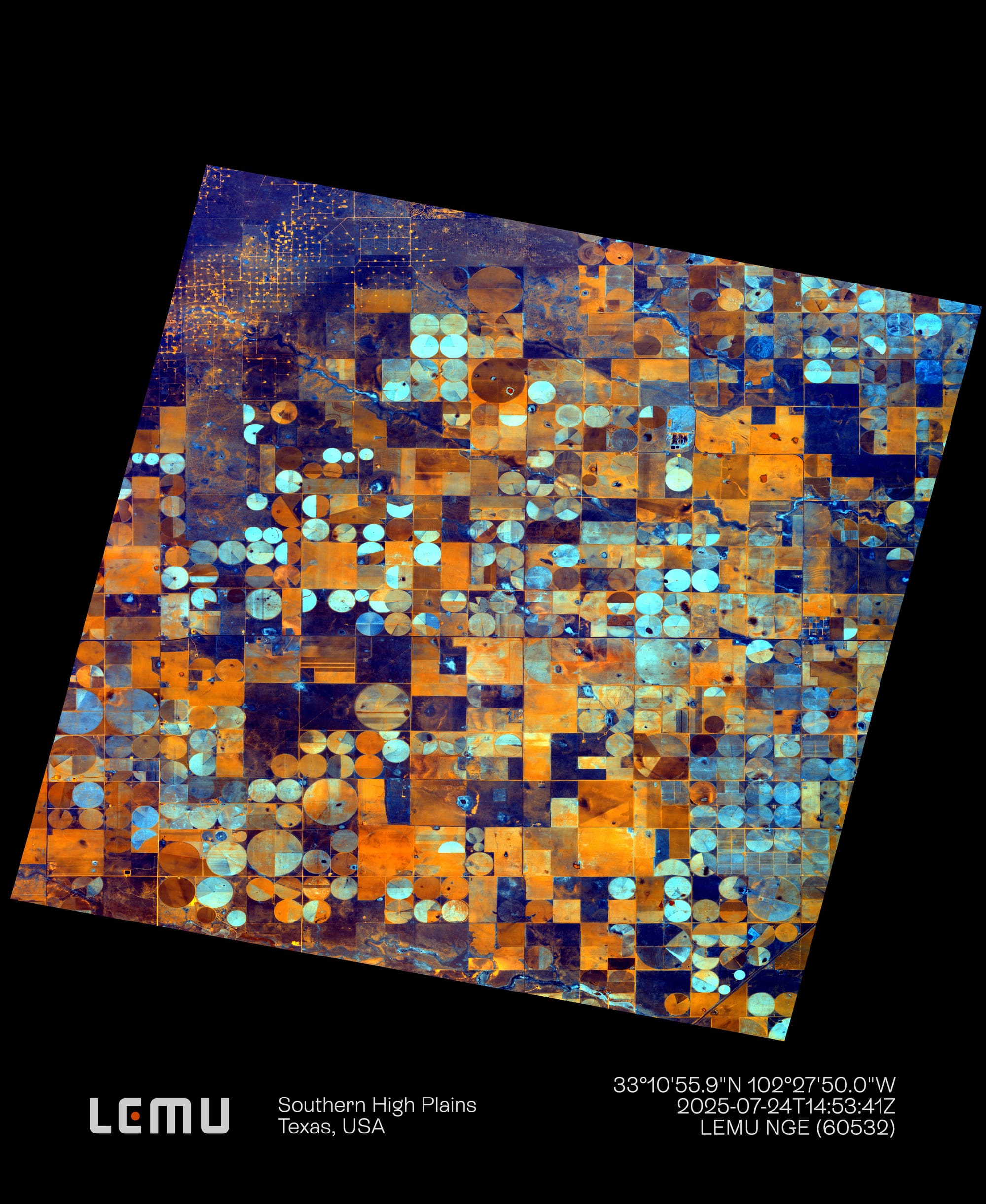
Since the time of the ancient Babylonians, who recorded celestial phenomena, humanity has turned its gaze to the cosmos, often relegating Earth to a secondary role. In space we have identified valuable gases and minerals —analogous to those found here— yet we have not found what we seek most: life, in any of its forms.
Paradoxically, we inhabit a planet with vast expanses of forests, oceans, deserts, and glaciers —landscapes we have not confirmed anywhere else in the universe— and still we remain unaware of many of the processes that sustain our own ecosystems. This is where remote sensing becomes fundamental for analysing and understanding them.
Remote sensing as a tool
Remote sensing is a method for obtaining data on the physical and environmental characteristics of Earth from a distance, without direct contact. Through satellites, aircraft, drones and other carriers, it captures and classifies signals —mainly reflected or emitted electromagnetic radiation— to generate information about the Earth’s surface, atmosphere and oceans.
With a history that goes back to the daguerreotype of 1839 and that became consolidated with aerial photography and space exploration, it is today a key tool for evidence-based environmental monitoring and conservation.
There are long-standing satellite programmes such as NASA’s Landsat, currently active with Landsat 9 and with Landsat Next announced to increase data frequency. Its European counterpart, ESA’s Copernicus programme, operates the Sentinel family, which includes radar and optical missions (such as Sentinel-1 and Sentinel-2). On the private side, Planet’s Dove constellation provides daily images with a resolution of about 3 m at a global scale. Each programme offers distinctive attributes —longevity in the case of NASA, or very high spatial resolution in the case of Maxar— but one area remains less covered: high-resolution hyperspectral observation.
Hyperspectral technology
Hyperspectral technology captures multiple dozens of contiguous and very narrow spectral bands (typically between 5 and 10 nanometres) across the visible spectrum, the near-infrared (VNIR) and the shortwave infrared (SWIR).
The result is a “hyperspectral cube” with two spatial dimensions (x, y) and one spectral dimension (λ). Each pixel contains a detailed spectrum, a true “fingerprint” of the material on the surface.
This capability can be applied to the study of vegetation components, soils and geology, water resources and urban environments. With such a rich amount of spectral information, it enables the distinction of very similar materials and the more precise characterisation of biophysical or chemical features.
The birth of Lemu Nge
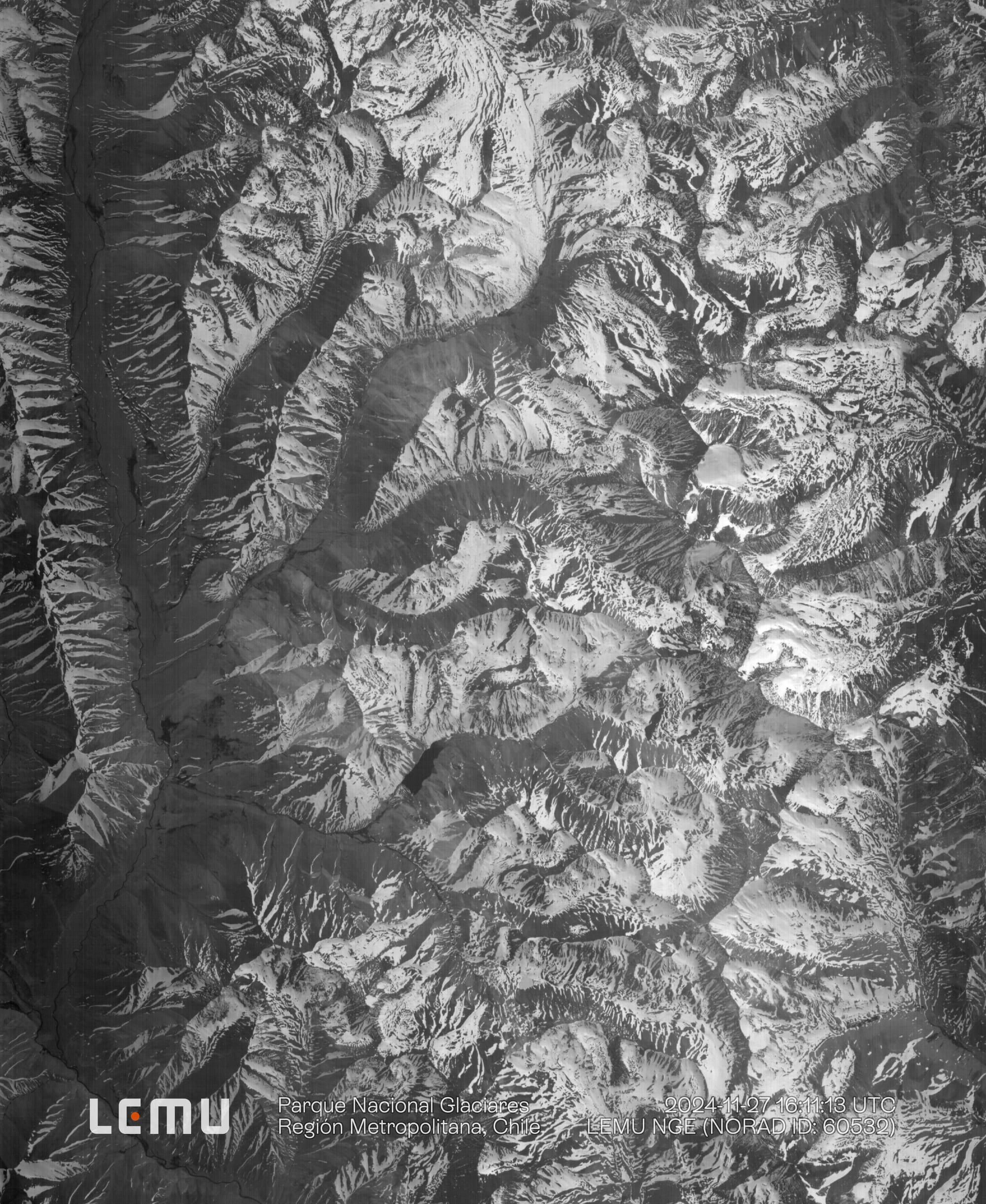
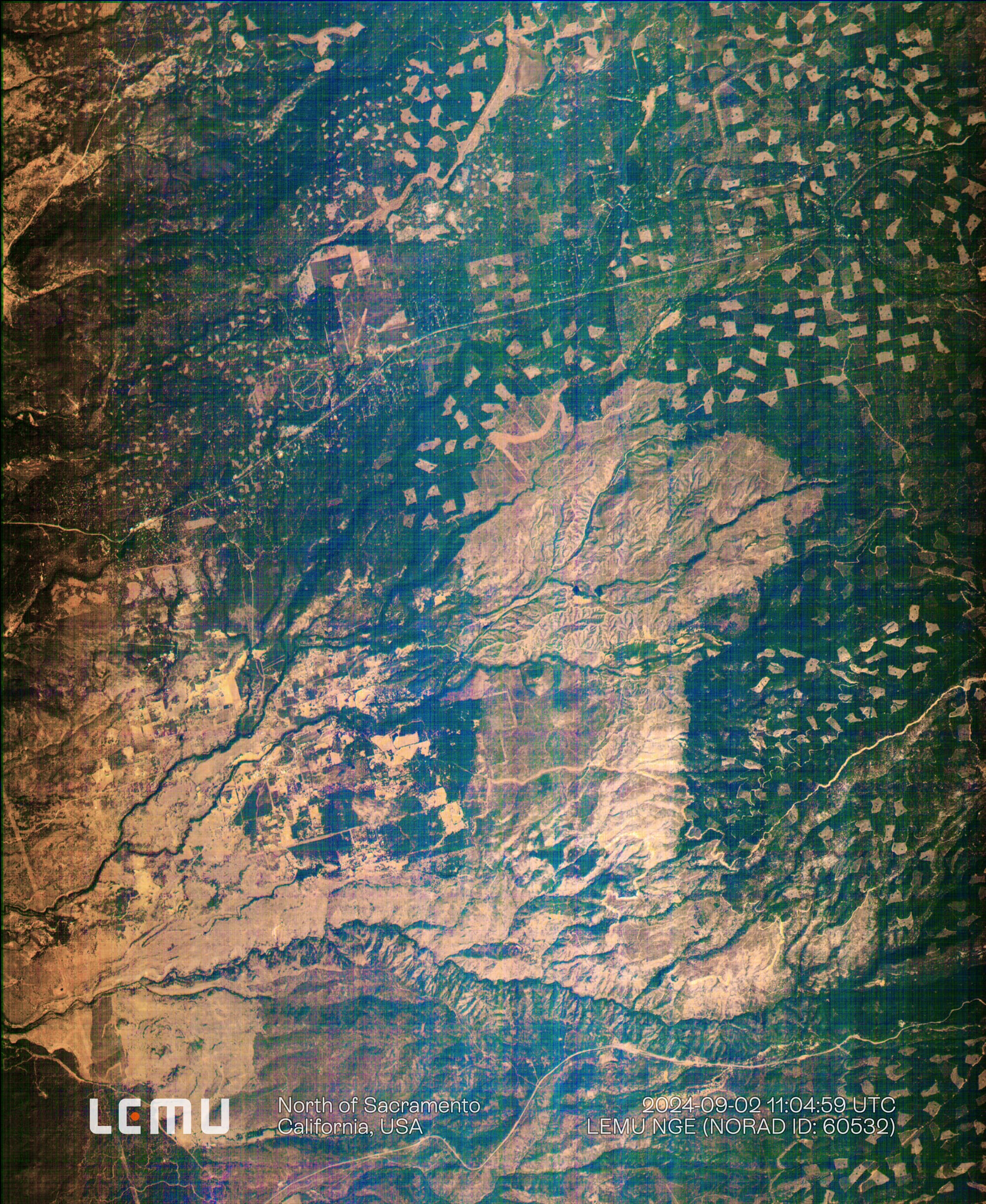
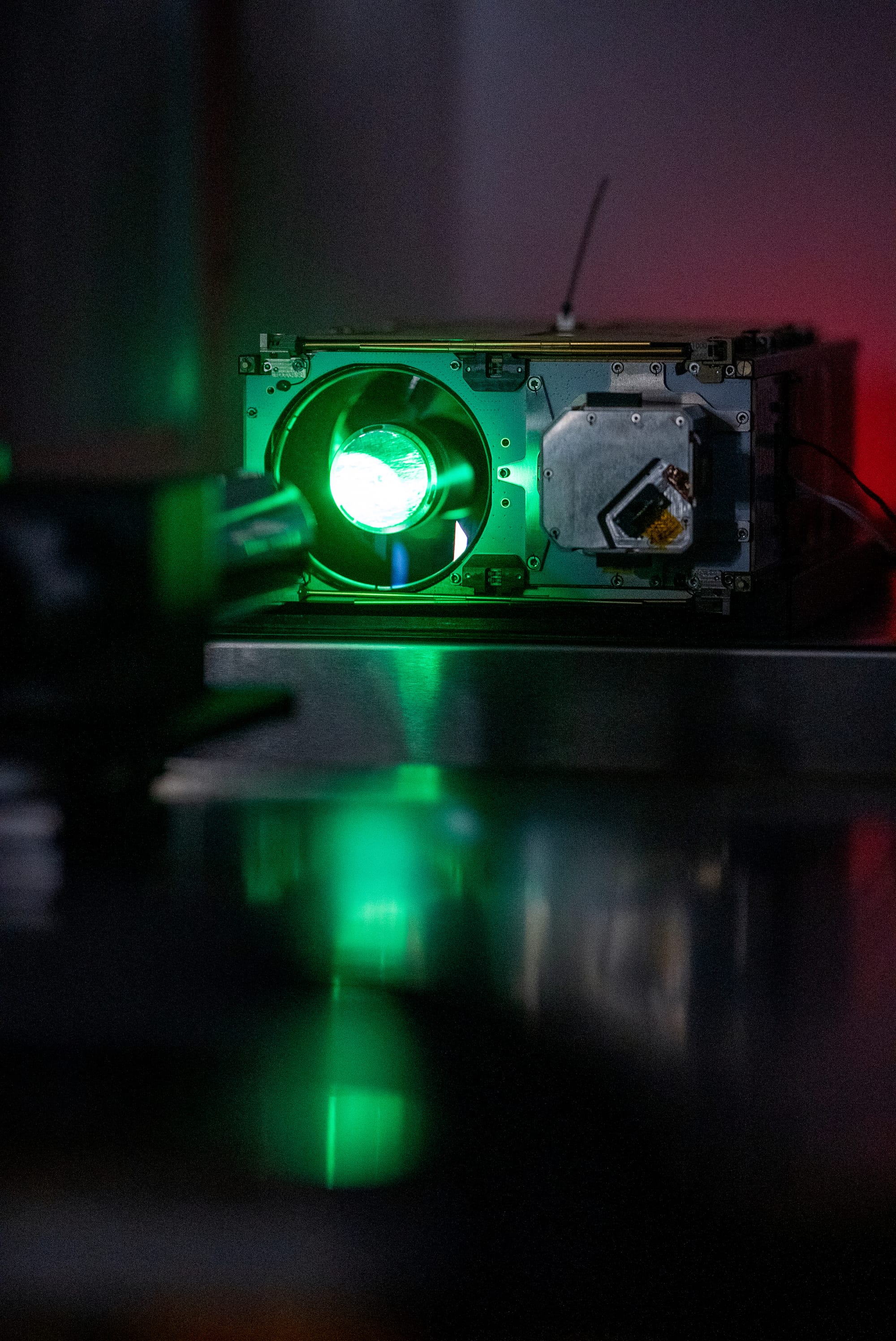
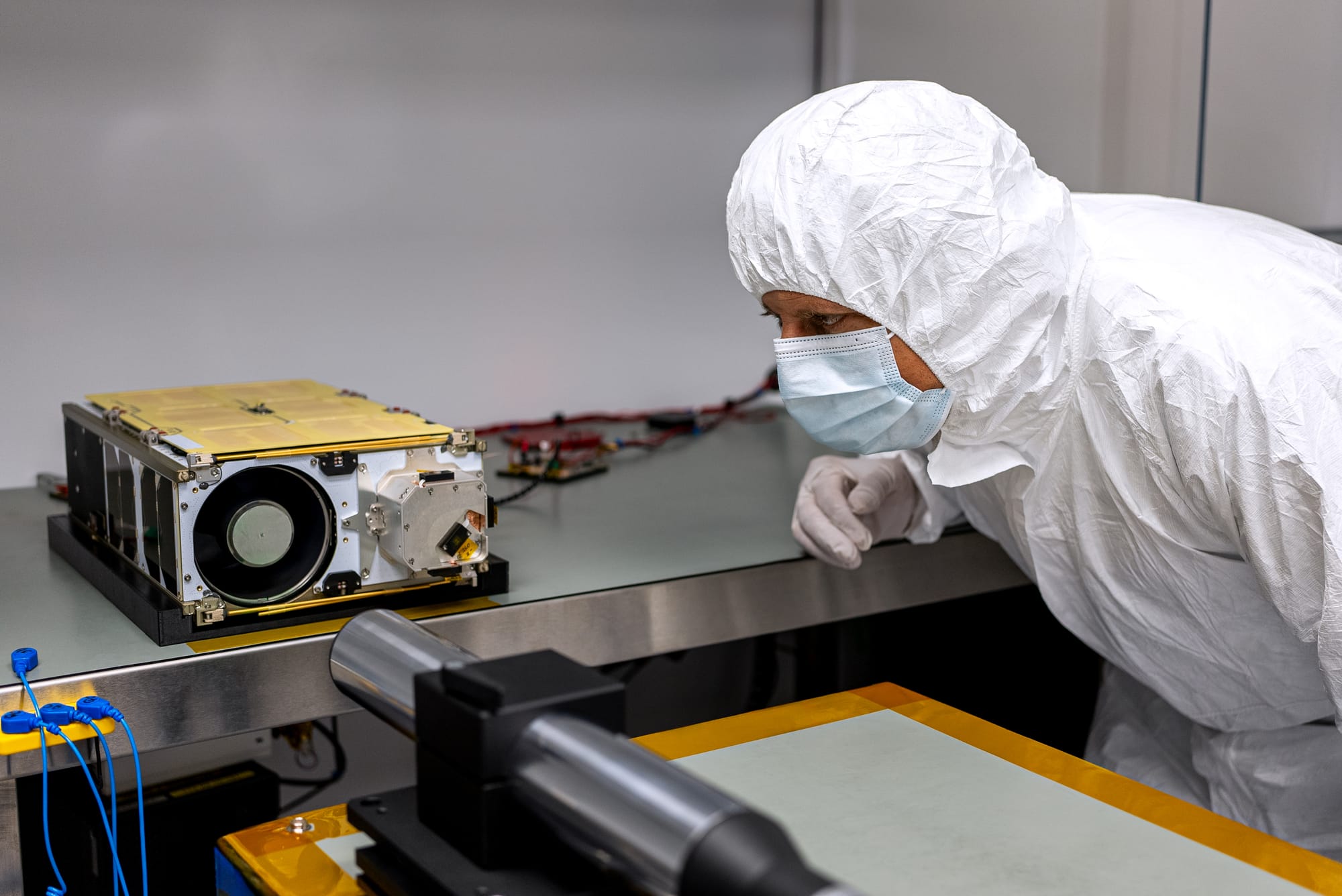
It was in this context that Lemu Nge —Silvarum Oculus, “Forest Eye”— emerged, a satellite designed in Northern Patagonia, Chile, announced in 2021 and placed into orbit in 2024. It integrates components from diverse origins: a sensor developed by Simera (South Africa), an ion propulsion system by ENPULSION (Austria), and the integration of all subsystems by NanoAvionics (Lithuania) on its M6P (6U) bus.
Lemu Nge reached space through SpaceX’s Rideshare programme. Over its development it consolidated as an ambitious and collaborative project, born more than seven years ago from research, with the purpose of addressing an urgent need in Earth monitoring.
The first year in orbit
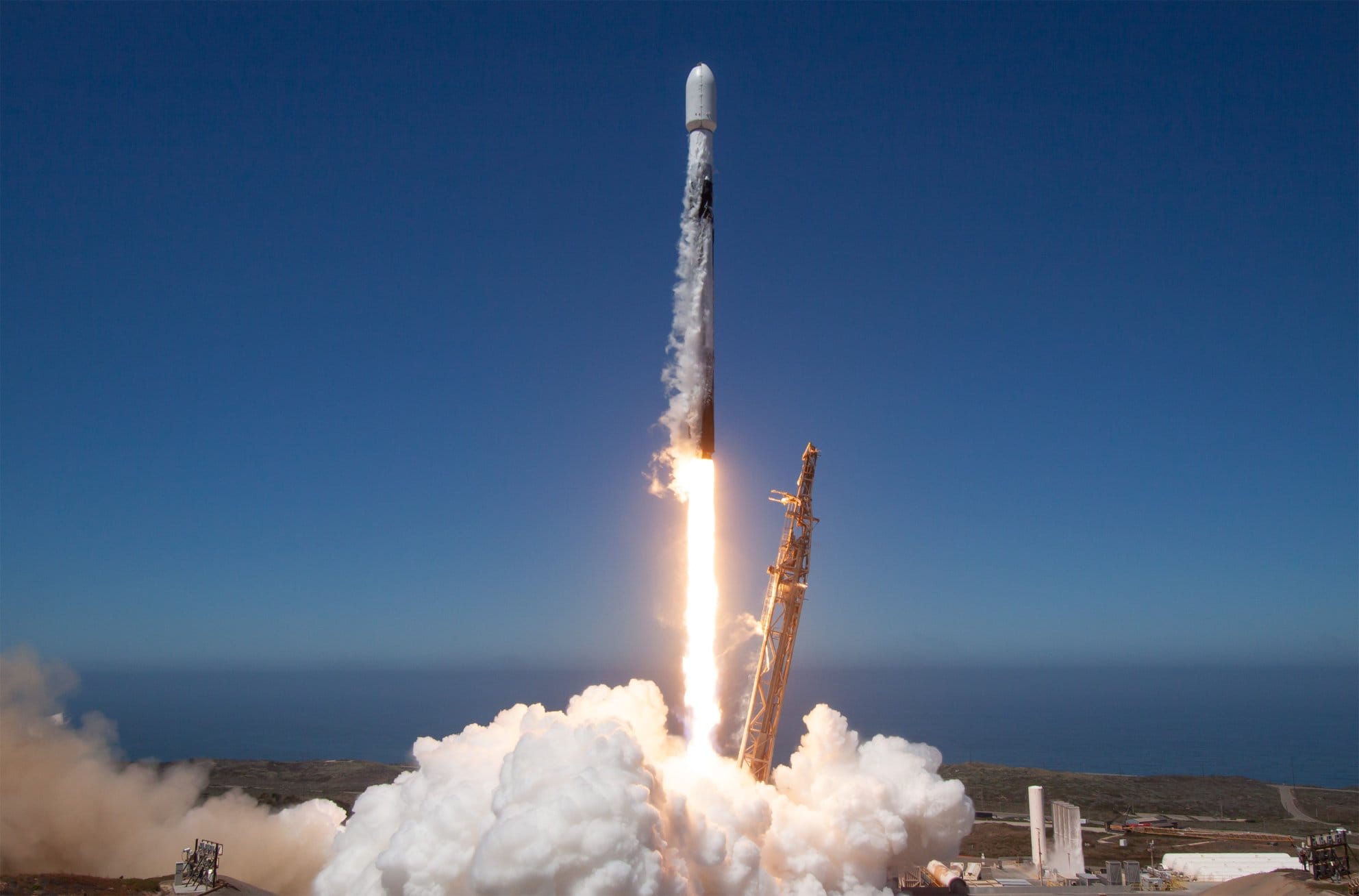
Thanks to the effort of highly professional and talented teams and companies, on 16 August 2024 we achieved the milestone of reaching space aboard a reusable Falcon 9 rocket during the Transporter-11 mission. After a year of facing multiple scenarios, we can now affirm that we are operational and obtaining high-quality data.
During this period we have worked alongside partners —such as VITO (Belgium) and NanoAvionics— to carry out operations, calibration and the use of satellite images from this sensor.
Space is a challenging environment: sharp temperature fluctuations, high levels of radiation, and even solar storms that at times temporarily interrupted communications with the satellite. Even so, we completed the Launch and Early Orbit Phase (LEOP), validating components and onboard functions, and carried out calibration and validation activities with the support of CEOS (Committee on Earth Observation Satellites) ground stations.
We also optimised our processing flows, shortening the time from image capture to file decryption and calibration, advancing towards our main objective: to characterise terrestrial ecosystems with a novel, non-invasive, and scientifically valuable perspective.
Initial applications
With Lemu Nge imagery we have demonstrated its potential in:
- Detecting high-Andean wetlands in northern Chile.
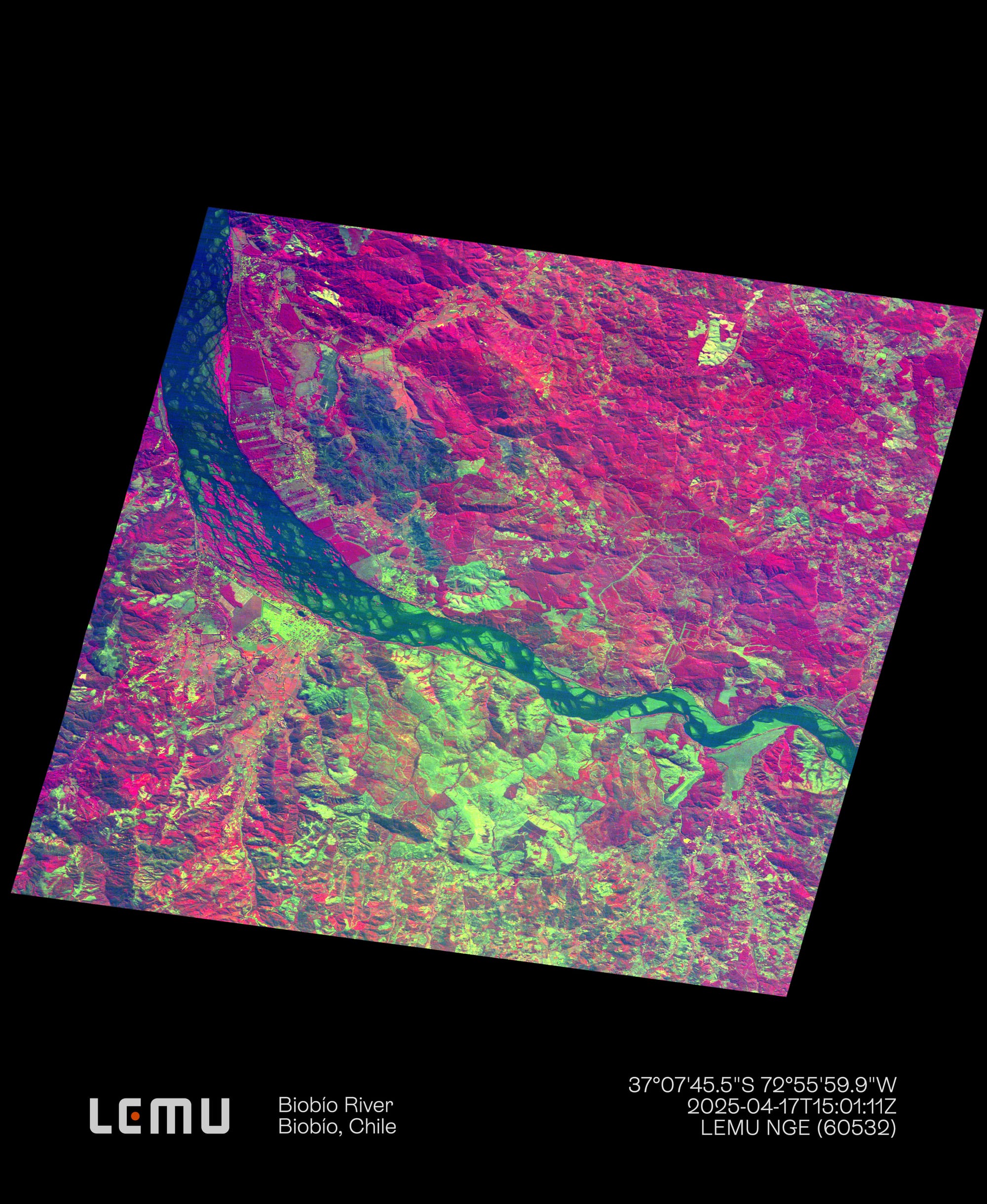
- Characterising areas affected by major disasters, such as Santa Juana (Biobío Region) after the 2023 wildfires.
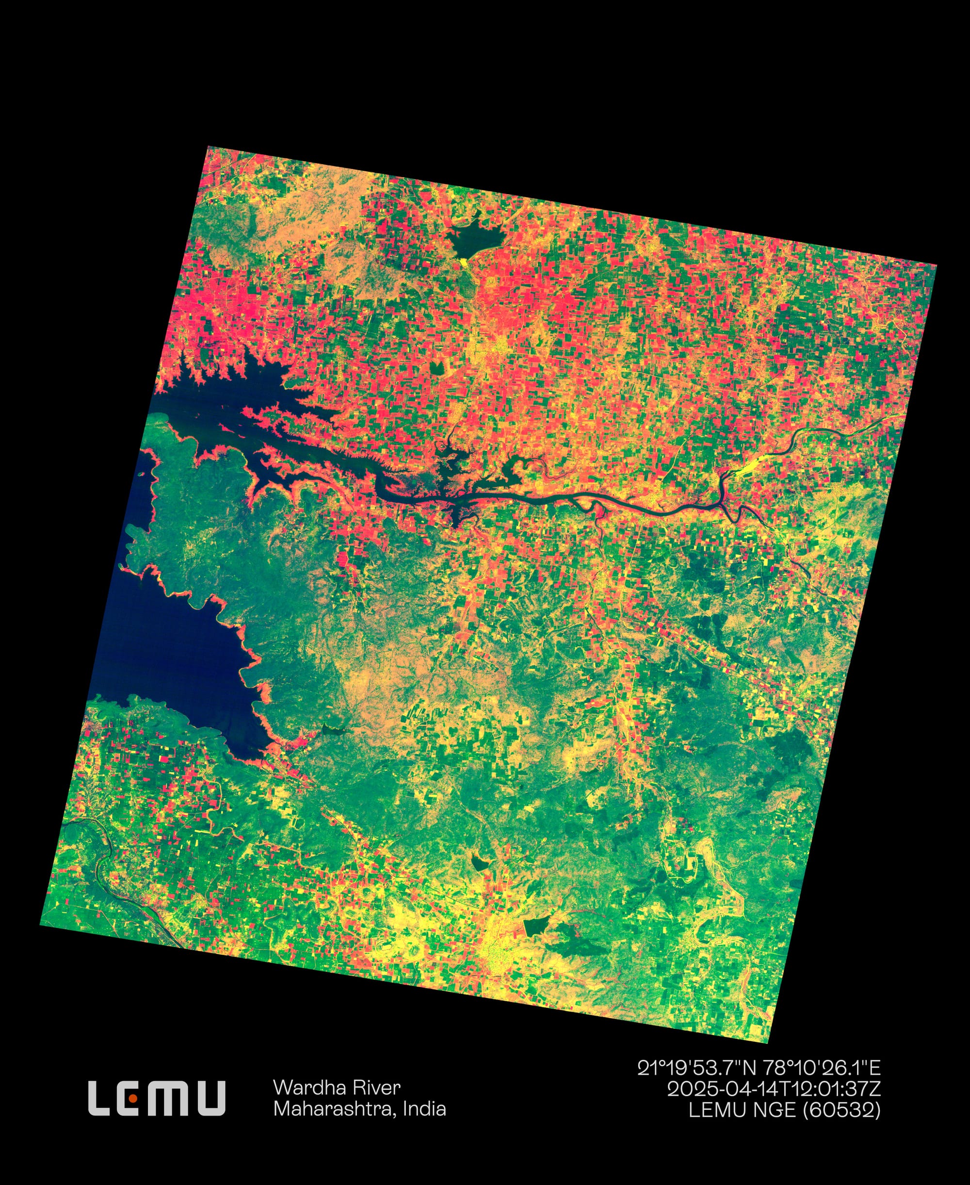
- Observing variations in photosynthetic activity, useful for food security.
The information generated by the sensor will continue to feed diverse models and environmental studies —forests, wetlands, agroecosystems, among others—. And we expect that in the coming year of activity we will continue to overcome the inherent challenges of space operations.
