
Requínoa, Chile — 10 February 2026 — Codelco, the world’s largest copper producer and one of the most demanding operators globally, has validated Lemu’s products and services through the successful completion of a pioneering biodiversity management pilot. Delivered with Atlas and hyperspectral satellite imagery captured by Lemu Nge under customer tasking, the pilot combined AI-driven analysis with applied ecological science to produce decision-ready, traceable insight for environmental management around Codelco’s El Teniente and Ventanas Divisions — strengthening not only operational decision-making, but also the evidence base Codelco needs for world-class disclosure frameworks such as ICMM and TNFD.
This achievement is not only the end of a project milestone, it is Codelco’s validation that Lemu’s Nature Intelligence works in real operational conditions, meeting world-class standards for rigour, reliability, and usability. Building on this validation, Lemu and Codelco will now move towards implementation of Atlas across Codelco’s eight divisions, covering more than 2 million hectares.
Key Takeaways (TL;DR)
- World-class validation: Codelco’s successful completion of the pilot validates Lemu’s products and services under demanding, real-world operational conditions — setting the foundation to scale Atlas across eight divisions covering 2M+ hectares.
- Operational & reporting value: Atlas delivered decision-ready, traceable Nature Intelligence that supports both day-to-day environmental management and consistent disclosure needs, including ICMM and TNFD reporting.
- Proven space-to-decision pipeline: The pilot operationally validated Lemu Nge under customer tasking — three months of monitoring and three perfect images over El Teniente — demonstrating repeatable, high-quality biodiversity satellite imagery at scale.
Validation in the field
Developed over six months under a 2025 collaboration agreement, the pilot included an operational validation of Lemu Nge under industrial customer tasking: for the first time, the satellite was tasked for an industrial customer, delivering three consecutive months of monitoring and three perfect images over El Teniente — validating data quality, repeatable acquisition, and end-to-end readiness for biodiversity monitoring at scale.
“We need technology like the technology we are starting today with Lemu, because to care for nature we need information, monitoring, very rigourous analytical intelligence — and that is what an initiative like the one we are driving today enables,” said Máximo Pacheco, Chairman of Codelco’s Board, underscoring the role of Atlas. “This is not pick-and-shovel mining — this is satellite mining. Sustainability is no longer an abstract concept, but an information system that allows us to measure, monitor, and manage with rigour. What we see today in this ‘shoebox’ — referring to the satellite’s small size — is a platform that transforms complex biodiversity data into concrete inputs for our operational management.”
“Codelco is a world-class company with best-in-class standards,” said Leo Prieto, CEO and Founder of Lemu. “This pilot was six months of deep work validating technology we’ve built over more than six years. The outcome is clear: rigourous nature science can be operationalised — reliably — so teams can make better decisions.”
Two strategic sites, one shared goal: decisions backed by evidence
The work focused on two priority areas:
- Roblería del Cobre de Loncha National Reserve (area of influence of El Teniente Division): 5.87 kHa (5,870 ha)
- Campiche Wetland (surrounding Ventanas Division): 0.51 kHa (515 ha)
Using Atlas, Lemu’s Nature Intelligence platform, the pilot consolidated a verifiable foundation to observe ecological patterns over time, prioritise areas, and support environmental planning with indicators designed to be usable without diluting scientific rigour—an approach aligned with Codelco’s Nature Positive direction.
Highlights from the pilot
At Roblería del Cobre de Loncha, Lemu’s LemuRank indicator (0–100) — a spatial conservation priority index — showed values between 53 and 89, with an average of 71, reinforcing the area’s ecological relevance and the value of spatial intelligence to guide monitoring and protection efforts.
Additionally, the pilot enabled teams to:
- Identify more than 1,465 observations from 82 species in the assessed area
- Observe long-term improvements in vegetation density
- Confirm an increase in carbon stock between 2001 and 2023, supporting the territory’s role as a carbon sink and contributor to climate change mitigation
These results were delivered through a workflow designed for operational use: traceable methods, repeatable observation, and outputs that can inform planning and management—key requirements in a demanding industrial environment.
From pilot validation to enterprise-scale deployment
The pilot’s successful completion provides the foundation to move from validation to scale: implementing Atlas beyond individual sites towards a consistent Nature Intelligence layer across Codelco’s footprint.
By expanding to all eight divisions (totaling more than 2 million hectares), Codelco would be positioned to standardise how it monitors ecosystems over time, prioritises action, and strengthens environmental decision-making with evidence that can be defended, audited, and improved. At enterprise scale, Atlas helps standardise indicators and traceability across divisions—supporting both day-to-day management and consistent ICMM and TNFD reporting.
For Lemu, this next step reflects the core promise of Nature Intelligence: not more data, but clearer decisions — delivered with scientific rigour, operational reliability, and agility.
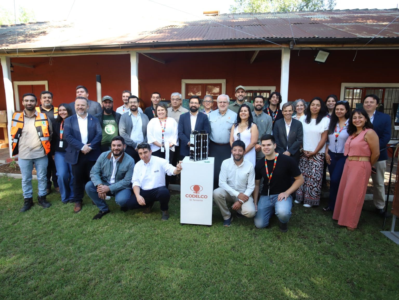
Project close-out with government authorities
The project’s closing milestone took place at Hacienda Cauquenes (O’Higgins, Chile), bringing together public authorities, academic partners, and technical teams from Codelco and Lemu. The programme included a technical presentation of the pilot, a demonstration of the satellite system using an on-site prototype, and a curated display of satellite imagery illustrating the biogeography surrounding El Teniente.
“We need responsible mining — mining that coexists well with the environment and relates in a friendly way with its communities,” Pacheco said, and added that “this new form of mining is what Codelco is driving, and where we want to be recognised as leaders.” He concluded: “This alliance with Lemu also reflects something we deeply value: Chile’s ability to deliver world-class innovation. Here, science, entrepreneurship, and national talent are being put at the service of a global challenge — producing the minerals the world needs while caring for the environment to ever-higher standards.”
Maximiliano Proaño, Chile’s Acting Minister of the Environment, said that when a strategic public company advances towards a Nature Positive vision, it not only strengthens its own environmental management, but also contributes directly to national environmental goals and more sustainable development. He added that this pilot comes at a particularly relevant moment, as Chile’s new Biodiversity and Protected Areas Service (SBAP) has recently begun operations, strengthening ecosystem management and monitoring nationwide. “Initiatives like Atlas by Lemu align with that vision,” Proaño said, “by improving decision-making based on verifiable, robust information.”
Codelco has publicly framed the initiative as part of its broader Nature and Biodiversity Strategy, aimed at halting ecosystem loss and moving towards net biodiversity gains under a Nature Positive vision.
About Lemu
Lemu is Latin America’s leading Nature Tech company, making nature visible in every decision. We built Atlas, a Nature Intelligence Platform that transforms complex environmental data into clear, actionable insight by combining AI, Earth observation, and ecological science. In 2024, we launched Lemu Nge, the world’s first biodiversity-focused hyperspectral satellite, designed specifically for monitoring biodiversity and ecosystem dynamics.
About Codelco
Codelco (Corporación Nacional del Cobre de Chile) is the world’s largest copper producer and Chile’s largest company. With operations across eight divisions, Codelco is advancing initiatives to deliver the minerals the world needs while continuously strengthening environmental stewardship and its Nature and Biodiversity Strategy.